The East Bay Path, One Stop to the Next
A level, straight walk beside the upper bay, from one bus stop to the next, with wooden posts for punctuation and five small bridges to count.
Some walks ask for a map, and some only ask that you keep walking in one honest direction. The East Bay path is the second kind, a level line of asphalt laid down beside the water. It was a shoreline railroad once, and the grade still carries itself like one.
I walked its middle piece on a bright Wednesday in the second week of May. The plan was plain and slightly bureaucratic, which in my experience is the most dependable kind of plan. Ride the bus out of the city, step down at Riverside Square, and walk south until another stop appears.
That decision gives you a little more than three and a half miles of bay on the right hand. It also supplies wooden posts for punctuation, five small bridges for counting, and one sleeping carousel. Not a single turn on the whole route requires a decision worth writing down.
From the stop
The bus sets you down at Riverside Square, where Bullocks Point Avenue gathers a modest center of things. There is a clock on a pole, a corner market, and a firehouse that takes the morning sun. The path crosses the square at street level, announced by a pair of stout wooden posts.
A notice board stands by the crossing with a tide table, a path map, and a card about a found key. I checked the low water hour, nodded to the clock on its pole, and stepped between the posts at seven forty. The whole square smelled faintly of cut grass and coffee, which is a fair forecast for a town.
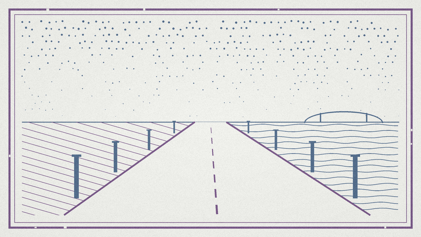
Those paired posts become the punctuation of this walk, and you learn to read them within a mile. They stand at every crossing, spaced wide enough for a stroller and too narrow for a car. Between the square and my second bus stop I counted fourteen pairs, one of them leaning.
Manners of an old rail line
A rail grade does not climb and does not wander, and that is the whole character of the hour. The line was engineered for a locomotive's patience, with slopes so slight your knees never notice them. What you notice instead is texture, the seams in the pavement, the long shadows, the salt in the wind.
Two granite mile markers survive on this stretch, small square stubs left over from the railroad years. One stands in the grass north of the cove, carved with a number that no longer measures anything. I touch it in passing, the way you would greet a retired colleague who still comes by the office.
The library's history file says excursion trains once ran this line to the amusement shore in summer. Ten cars of city families, straw hats, and a band already playing at the far platform. The path inherits that holiday patience even now, even on a plain Wednesday in May.
The path is shared, so walkers keep right and cyclists announce themselves with bells and short greetings. On a warm weekend the traffic thickens pleasantly, dogs and strollers and one inline skater straight out of the nineties. On a weekday morning you can walk a full mile inside your own thoughts.
Counting the small bridges
The bridges are the great event of this segment, five of them, none longer than a school bus. Each one lifts the path over a creek or a tidal gut on plank decking with wooden rails. Your feet find them before your eyes do, because the surface changes from hush to knock.
I graded each bridge in my notebook, a private exercise with no official standing whatsoever. The second bridge won the morning outright, on the strength of a green heron fishing the mud below. The fourth offered the widest water, with the cove opening west and an osprey working its platform nest.
Low tide is the better ticket for this stretch, and the board back at the square lists the times. The flats come out glossy and alive, printed everywhere with the errands of clams and gulls. At high water the same reach turns quiet and blue, which is worth having too, but the theater is in the mud.
The carousel and the cove
Half a mile along, a broad lawn slopes to the water where an amusement ground stood a century ago. What remains is an antique carousel in its wooden pavilion, kept in public hands and run in the warm months. On my morning it stood shut and dignified, the horses dim behind glass, frozen mid gallop.
South of the lawn the path rides the rim of Bullocks Cove, and the yards give way to marsh. A small state park arrives on the left with ball fields, picnic tables, and a boat ramp that smells of rope. This is the natural site for the thermos, and I hold that a thermos is standard equipment here.
The cove keeps a modest fleet of skiffs and one patient rowboat turned turtle on the grass. Red winged blackbirds run the cattail margins like small officials wearing armbands. I stood ten minutes at the rail and logged three herons, two kingfishers, and one unhurried muskrat.
The last mile and the second stop
The town line comes and goes without ceremony, which is how town lines behave on old rail beds. The marsh spreads wide on the right, combed flat by the tide, with egrets placed like errands half finished. Two more pairs of posts pass, and then the fifth bridge knocks underfoot, the last of my count.
After the marsh the path slips in behind a row of shops and delivers you to County Road. The second bus stop waits by the crosswalk with a mailbox, a defended patch of daffodils, and a plaque worn past reading. I arrived with fifty five minutes of walking behind me and every bridge accounted for.
If your timing is good, the return bus appears within a quarter hour and reads the walk backward for you. If your timing is bad, the wait is a standing invitation to walk one bridge north and back again. I have managed both outcomes, and I have no complaint to file either way.
Worth the walk
This is the easiest full segment in the gazette so far, level, paved, and impossible to lose. Water keeps you company for most of an hour, and the bridges give the miles a countable shape. Strollers and small bicycles do well here, and the paired posts keep every crossing honest. Allow ninety minutes with stops, or a shade over an hour if you walk it straight through.
It is not the walk for anyone who needs shade at noon, because the open stretches run long. Sun and wind arrive unedited off the bay, and seats along the way are scarcer than views. Go in the morning, carry water, wear shoes you trust, and let the straight line do its quiet work.
Mile notes
- Mileage and access points checked against the state environmental management department's published path pages
- Railroad era details drawn from the public library's local history file on the old shoreline line
- Carousel season and tide times as posted on the notice boards at Riverside Square in May

Nell Harrow, founder and editor. Walks out of Providence, writes on the way back.